| Distance | 19.25 km |
| Time | 5 hrs |
| Difficulty | Long, but easy |
| Good for | First proper views of the Highlands |
This felt like the proper first day of the West Highland Way – an introduction to the Munros (mountains over 3000ft), the Corbetts (between 2,500 and 3,000ft) and the Grahams (between 2,000ft and 2,500ft). All the walk along Loch Lomond seemed trivial in comparison.
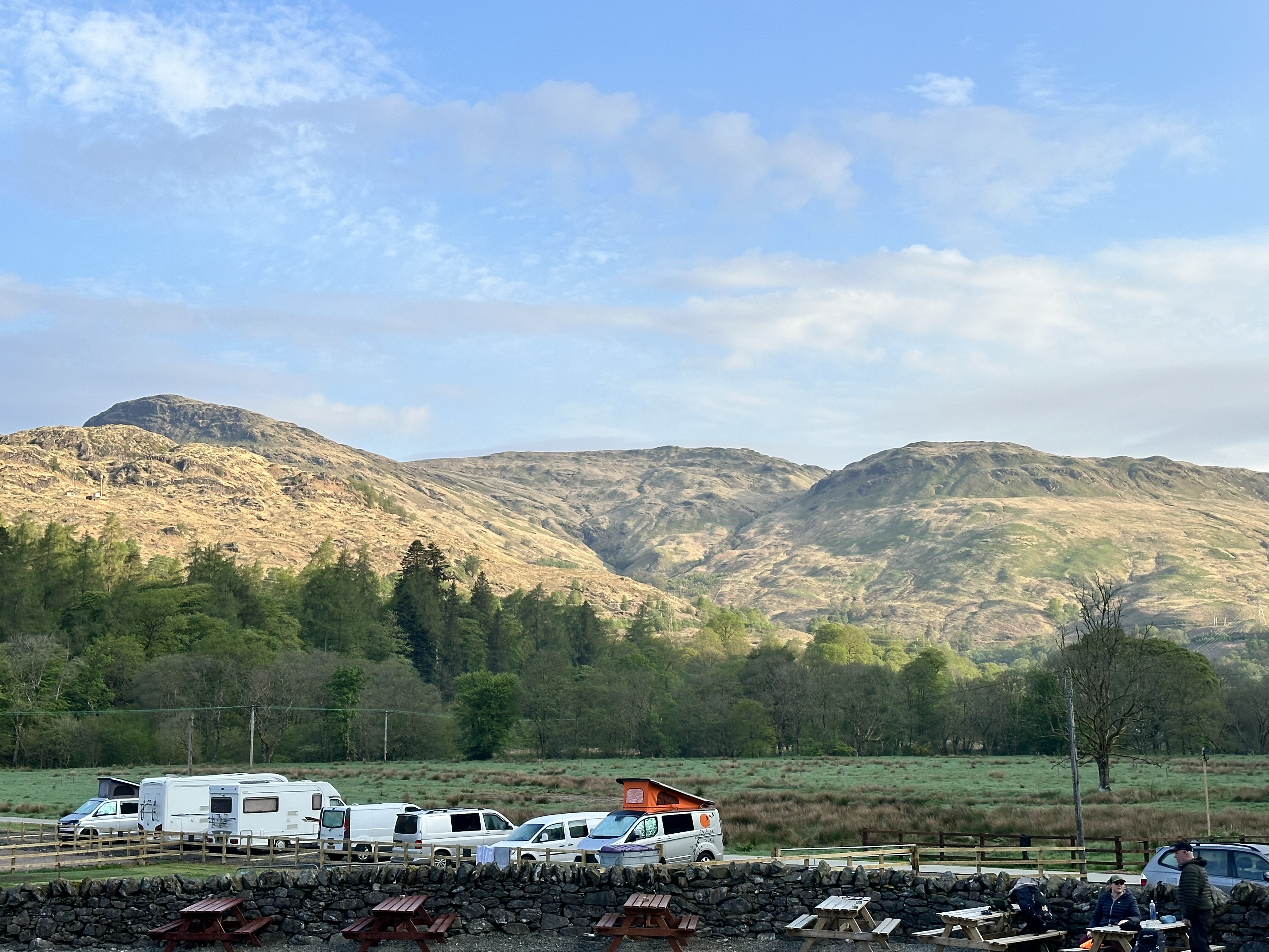
The day started with blue skies and this wonderful view of the hills on the west side of the A82 from our campsite.
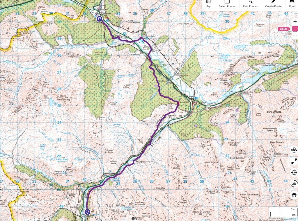
Today’s route followed the A82/A85 road and also the train line to Oban and Fort William. The train track split into 2 lines at the next town, Crianlarich about 6 miles away, with one branch going to Oban, the other to Fort William. Both lines go to Tyndrum, our next overnight stop. One stop, Upper Tyndrum, serviced the stations to Fort William, whilst Lower Tyndrum serviced stations to Oban. For such a small place it seems odd to have 2 stations (but given the terrain, entirely understandable).
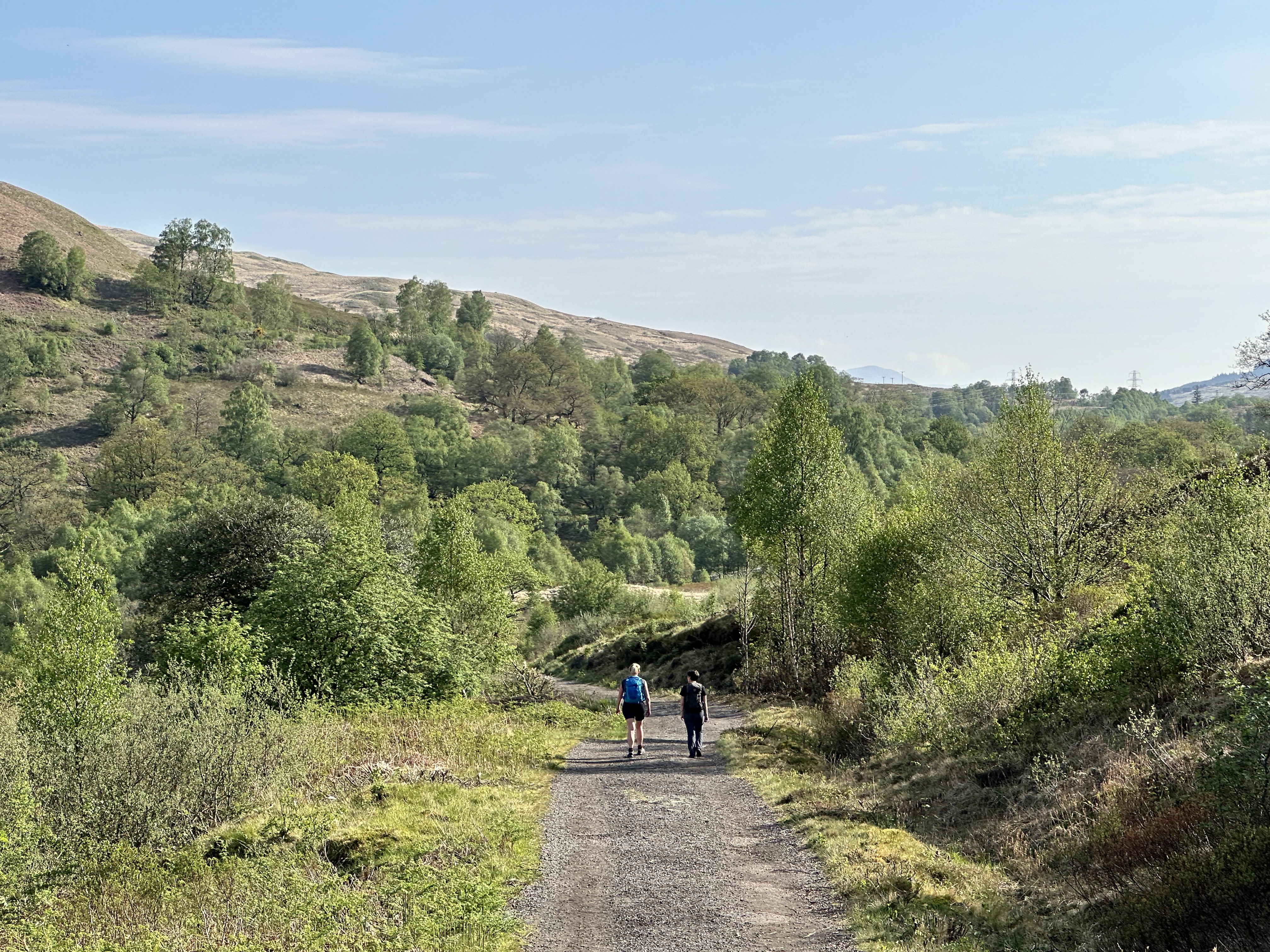
The paths made for great for walking as they were all of a good quality and wide. Most of the day was spent in the open countryside which allowed uninterrupted views for most of the day.
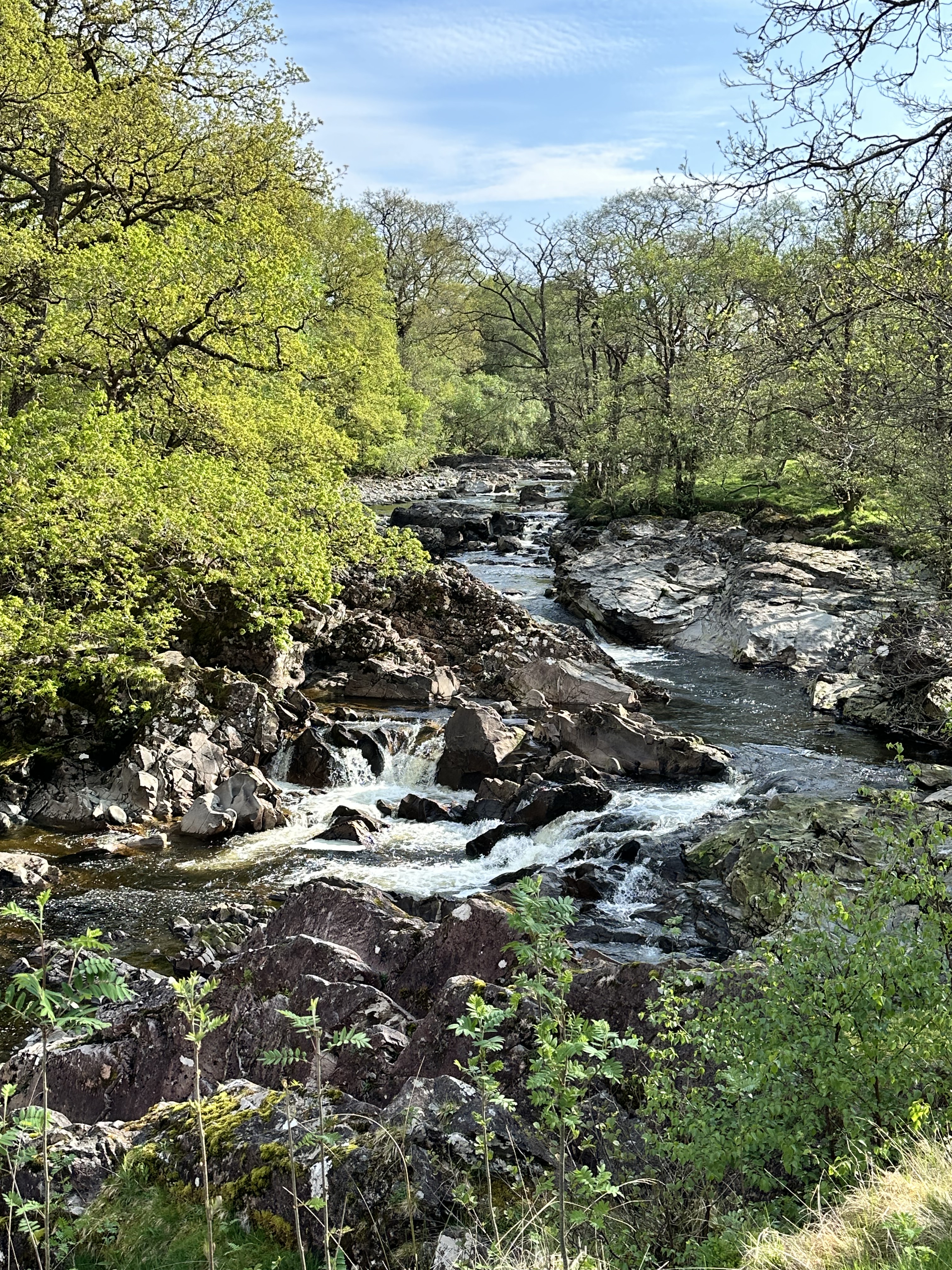
Not only did the path follow the road and railway, but also the river, Glen Falloch which emptied into Loch Lomond. A mile or two from the start of the walk was the Falls of Falloch, a mile long set of falls, which offered both a pleasant change to the wider views but also drowned out the road noise too. Here is a typical view of the Falls from the bottom end.
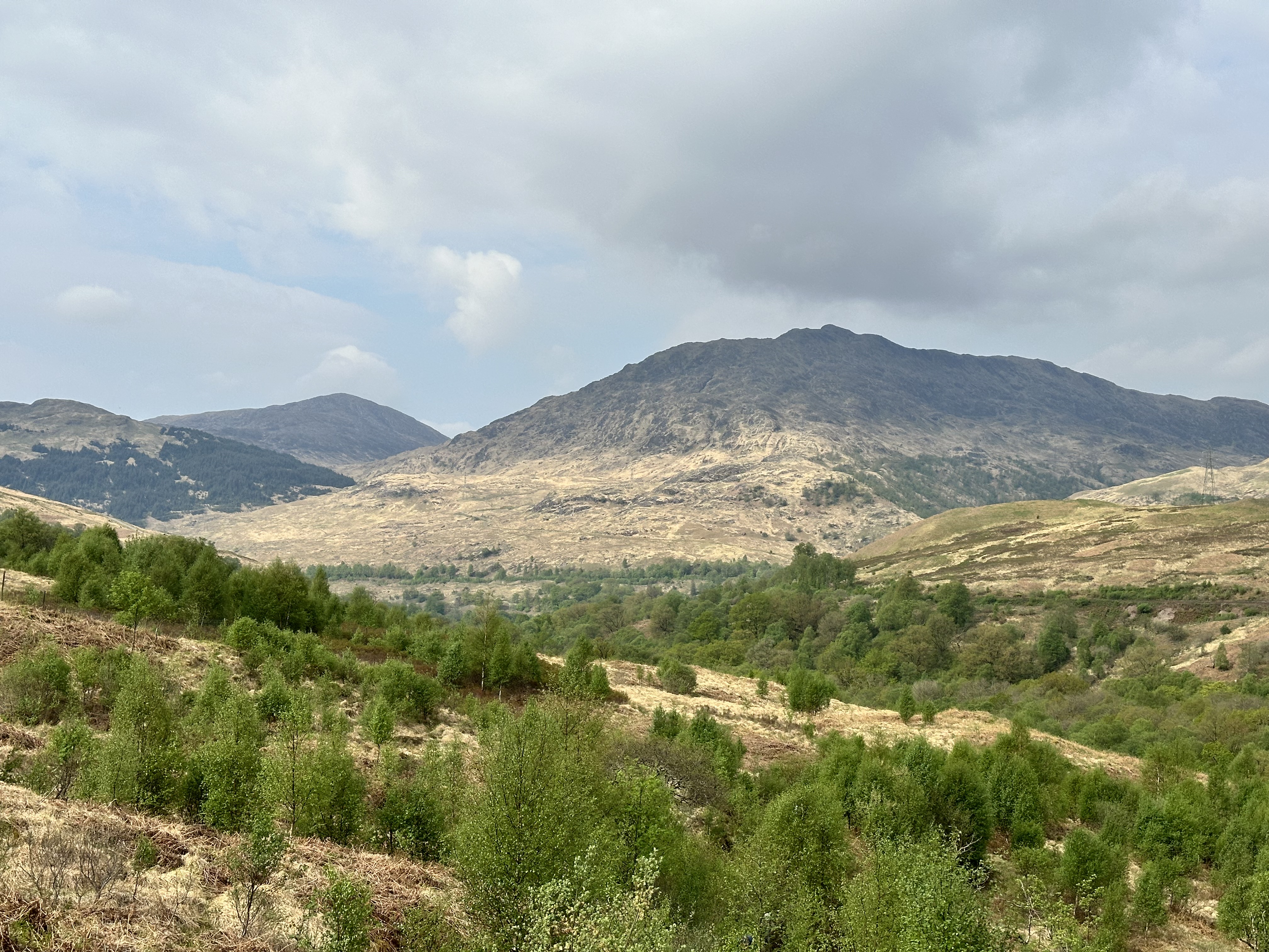
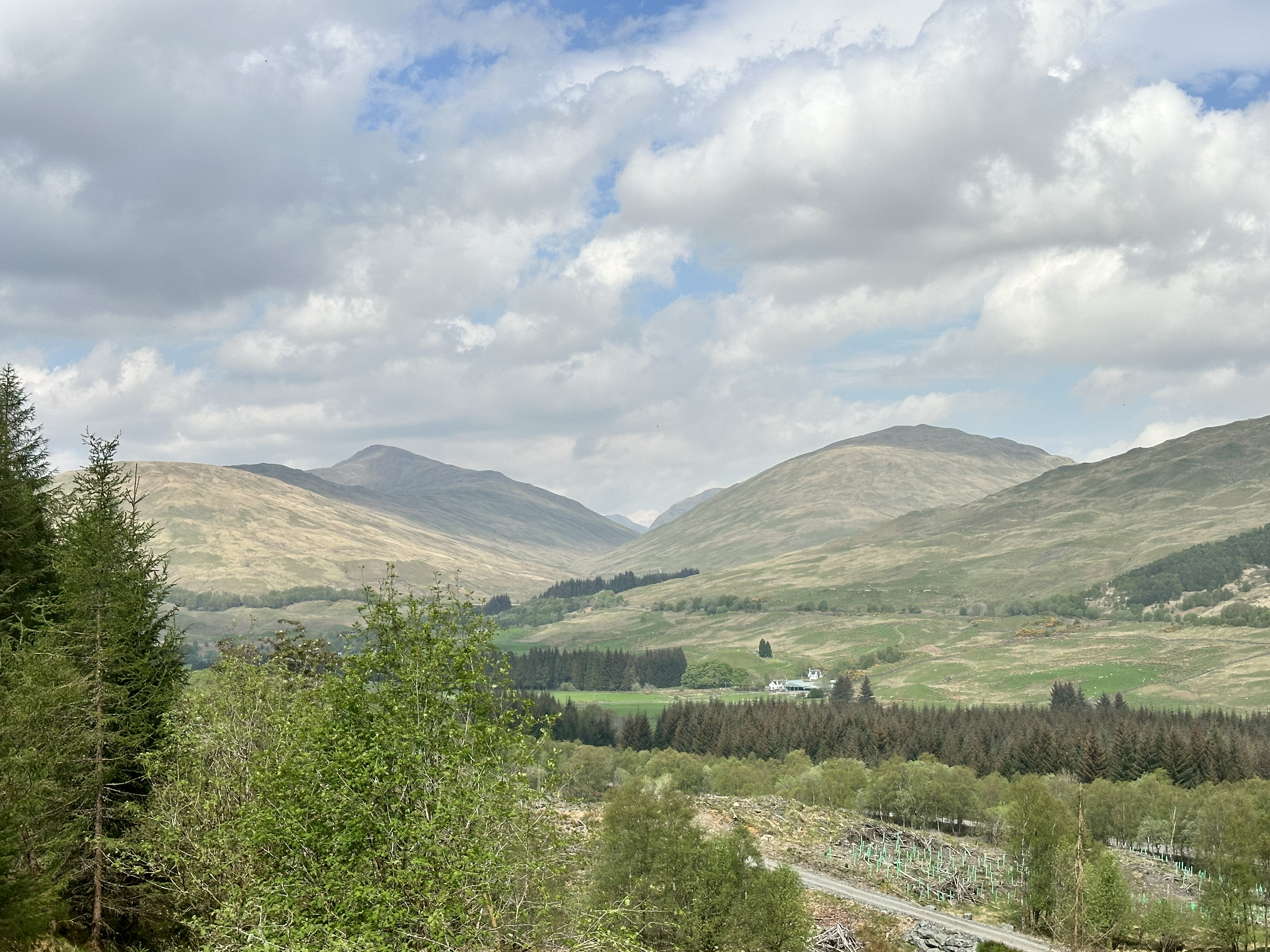
The walk meandered uphill away from the tree line, which gave us a view back from whence we came. This is a view of Troisgeach (734m), the same peak that met us first thing this morning.
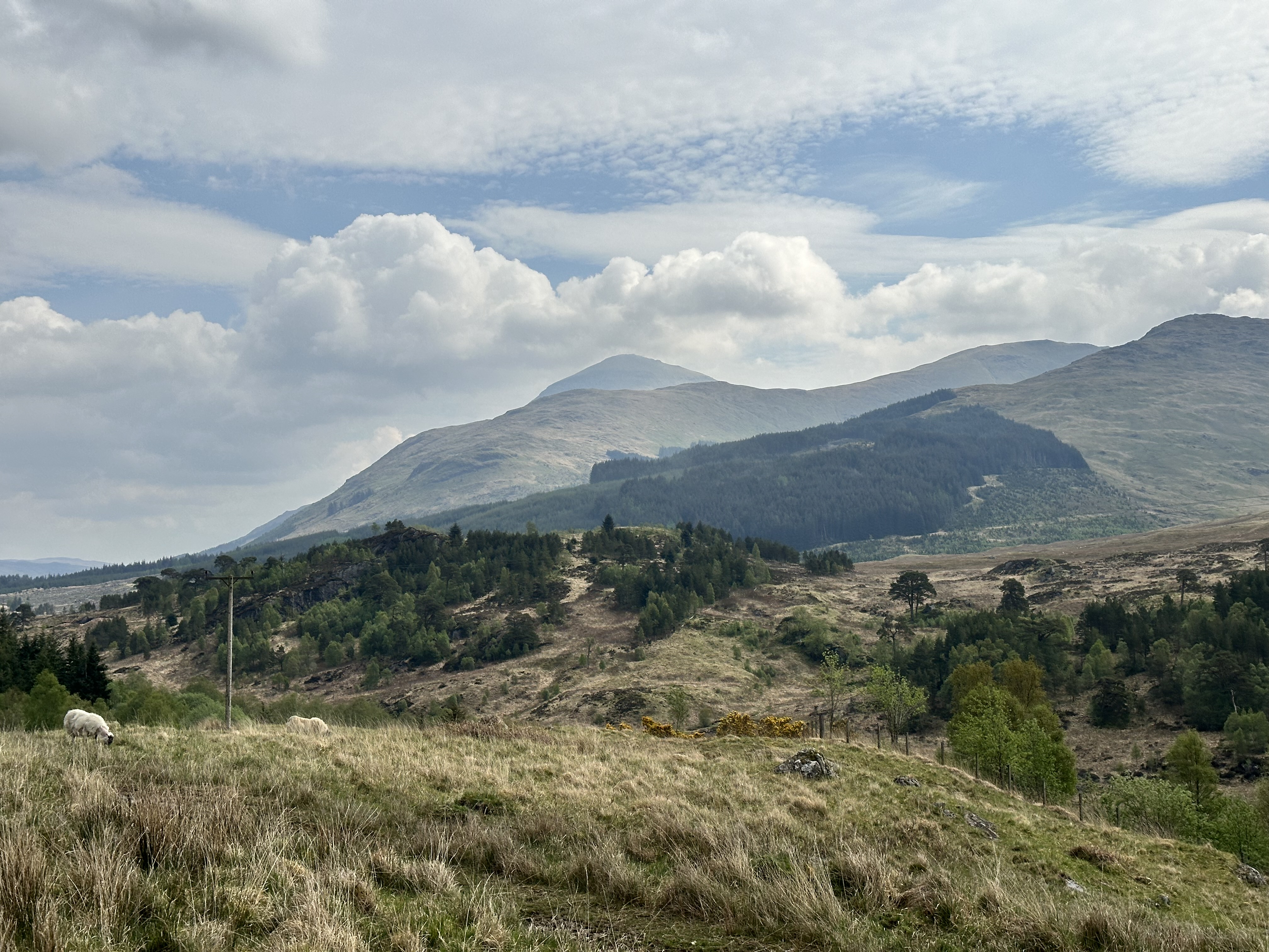
Looking ahead down the valley, the peak of Ben More (1174m) sitting behind Crianlarich, honed into view. This peak would be visible for much of the walk.
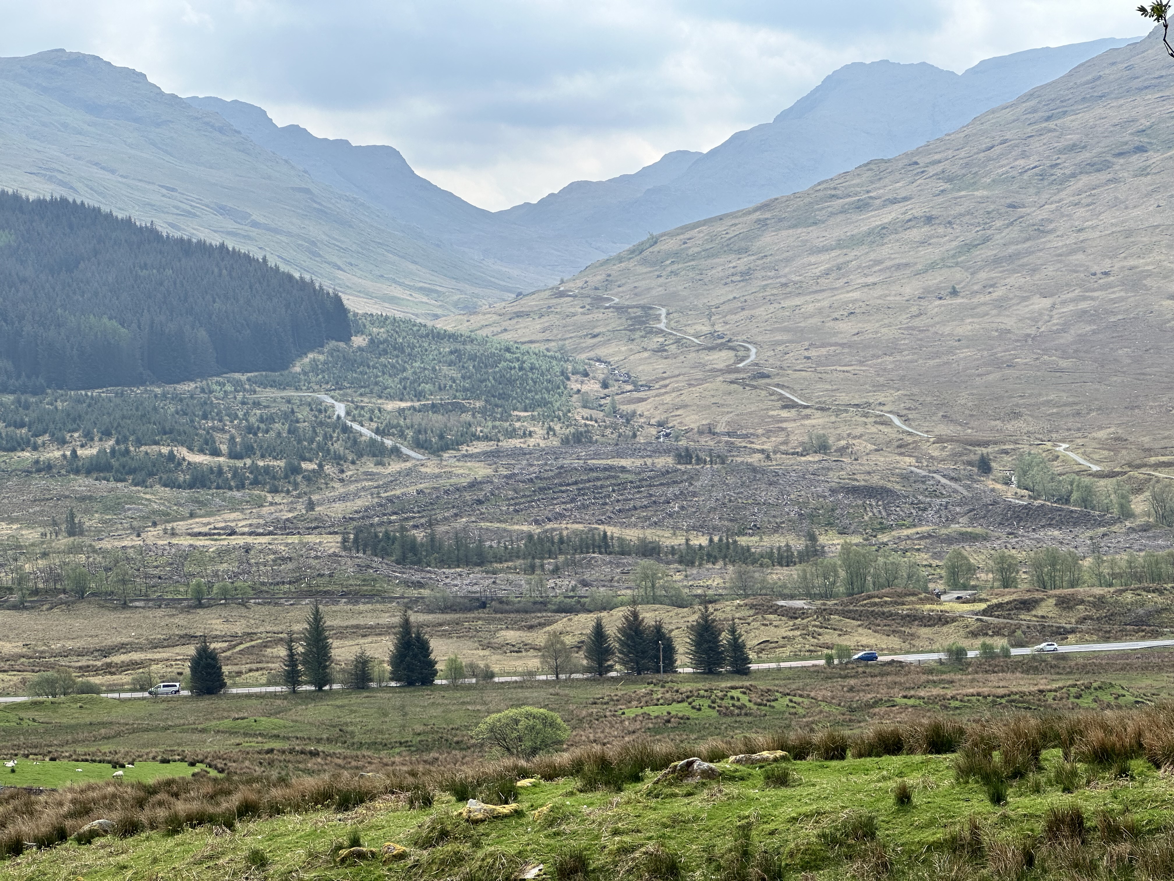
Looking south from the Falls of Falloch I thought this was an interesting view of the gulley that runs between Benn Chabhair (933m) and Caisteal (995m).
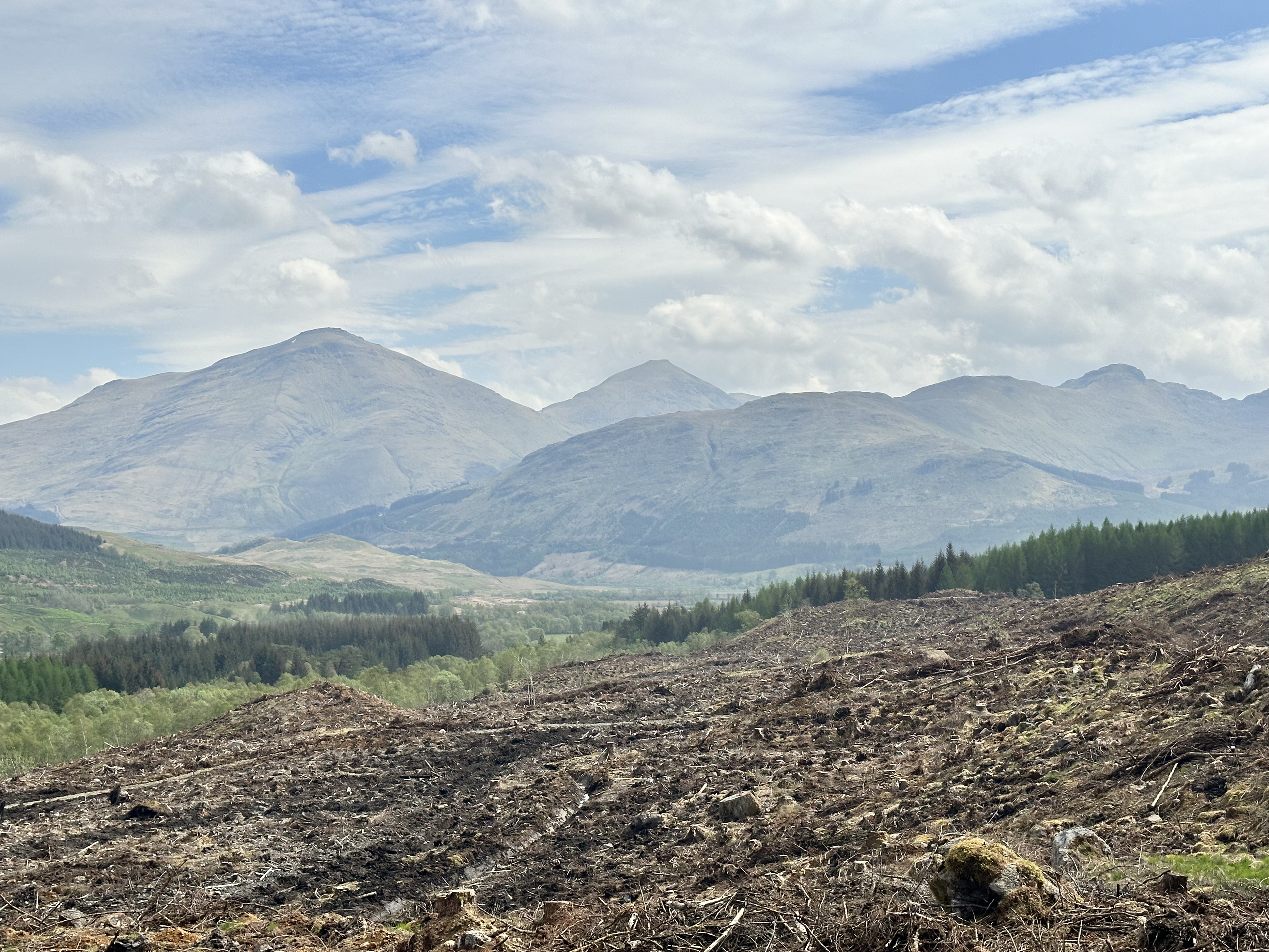
As the path cut left and up into some forest, the view of Ben More on the left and Stob Binnein (1165m) to the right was more prominent.
Having turned the corner, the forest had been cleared, which made for a fairly desolate view. It did provide another chance to see Ben More and Stob Binnein away towards the south east.
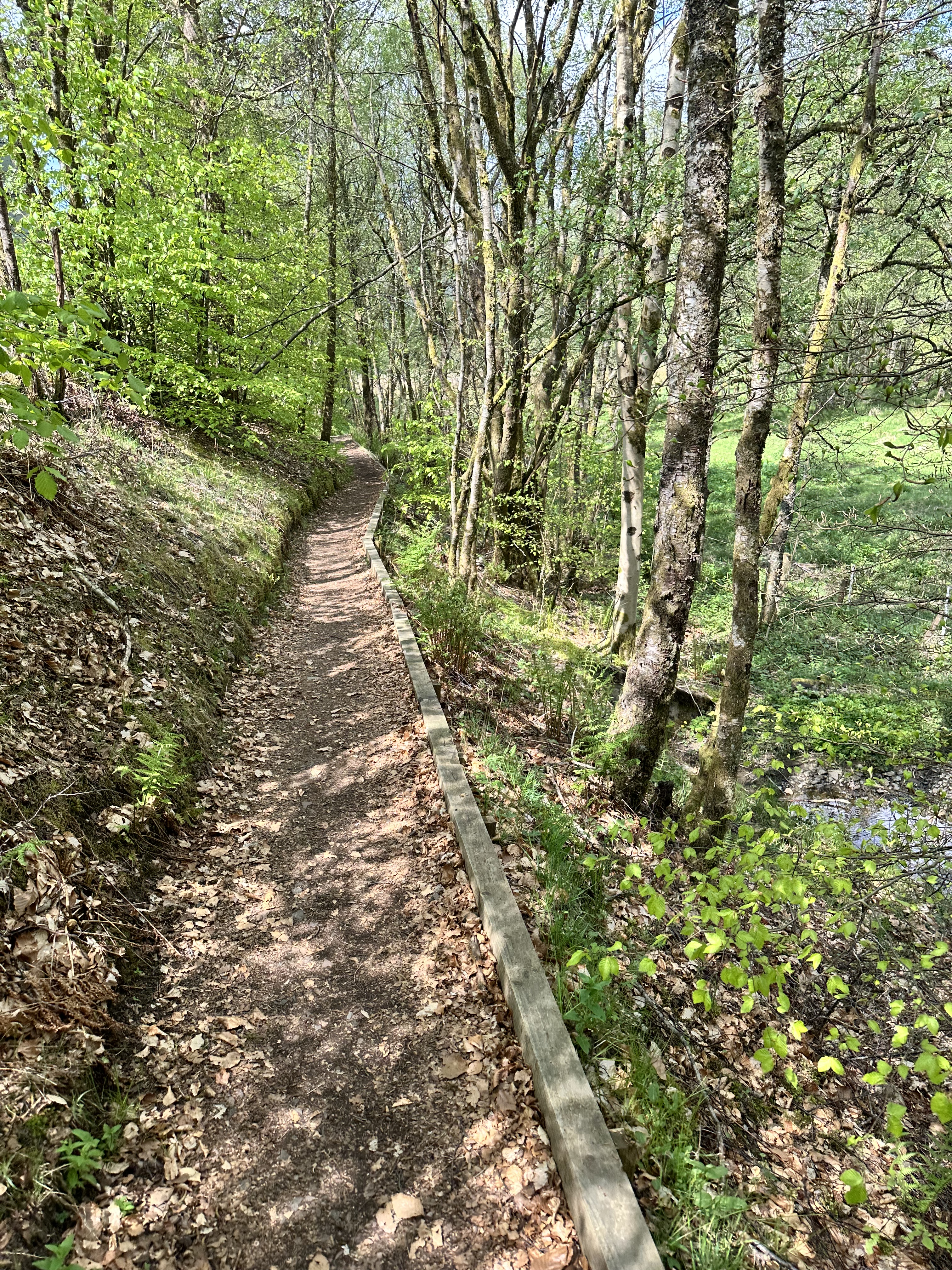
Now dropping down to cross the train line and road again, the path along the road offered a tree-lined avenue for a while.
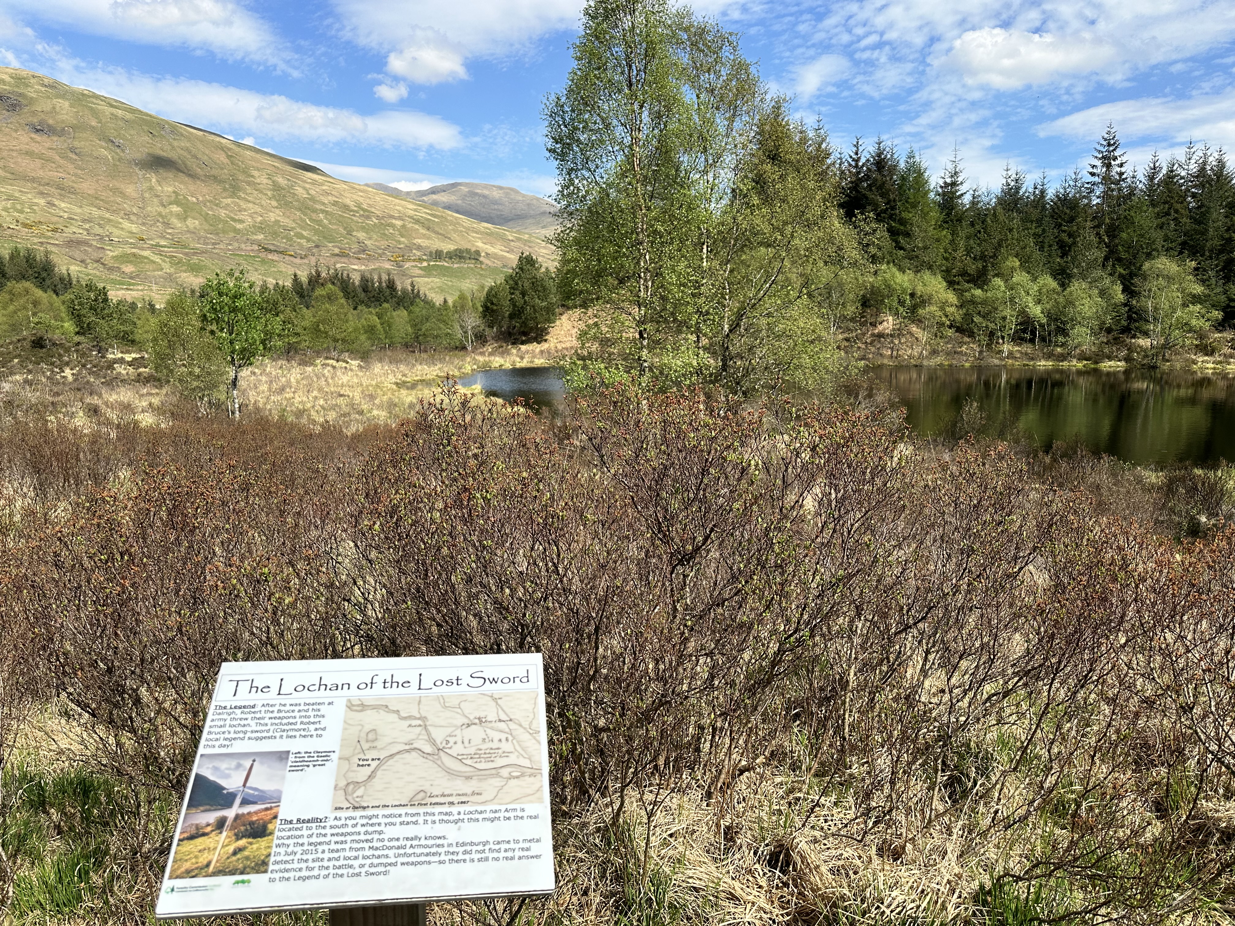
On the final approaches to Tyndrum, the path twisted along the river Crom Allt into some woodland, exposing a small lochan. As legend has it, this is the site of Robert the Bruce’s weapons after he threw them in to the lochan, including his long sword, after his army lost a battle here.
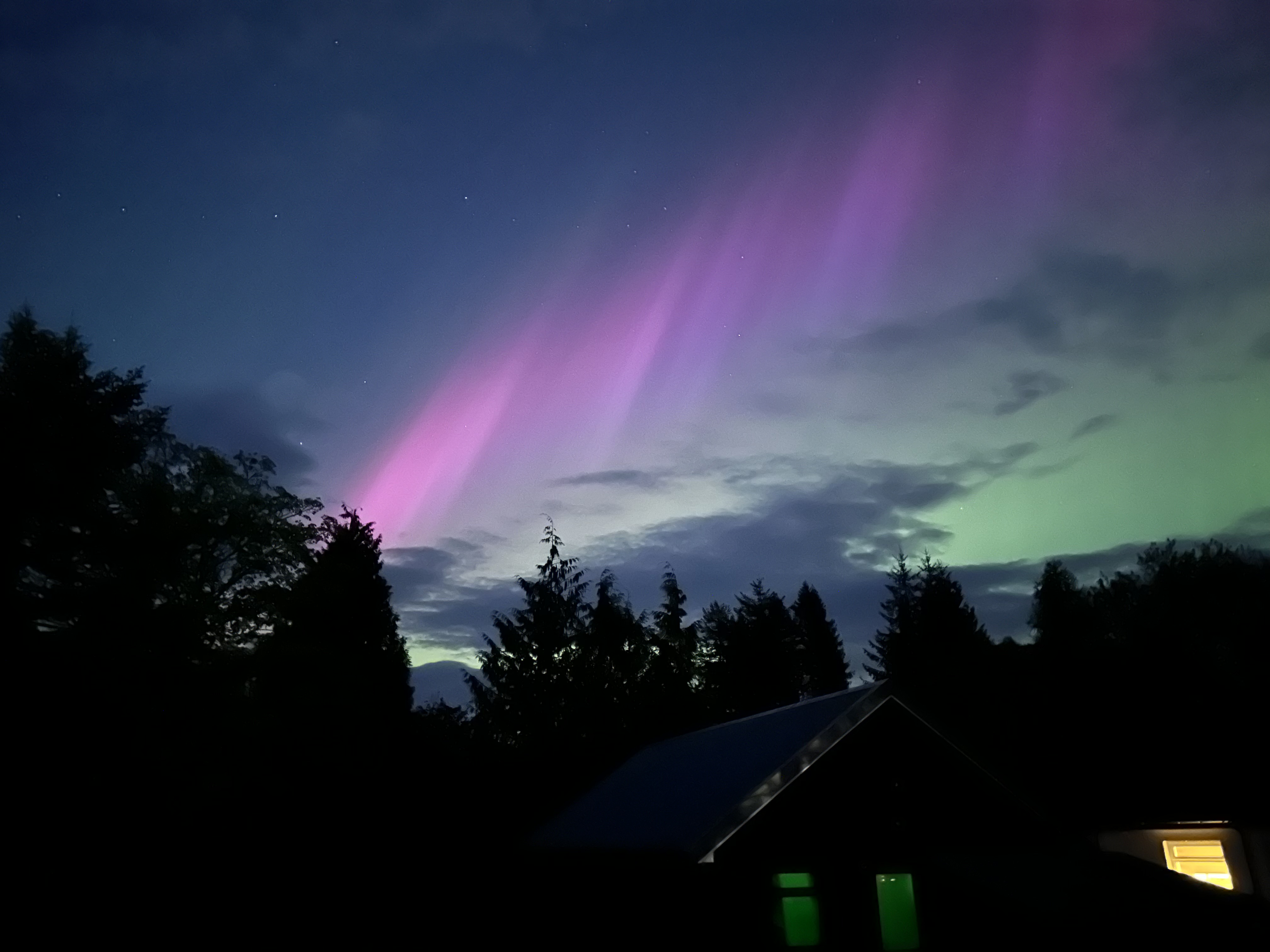
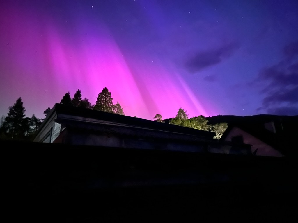
View of the day wasn’t a view of the mountains or rivers, but of the Aurora Borealis which put in a spectacular appearance that night. Better seen on the phone rather than with the naked eye, the views need no description. Awe inspiring.